project logo

zyGrib

Weather forecasting

zyGrib is a program to download and visualize weather forecast data in the standard GRIB distribution format.
Core Features

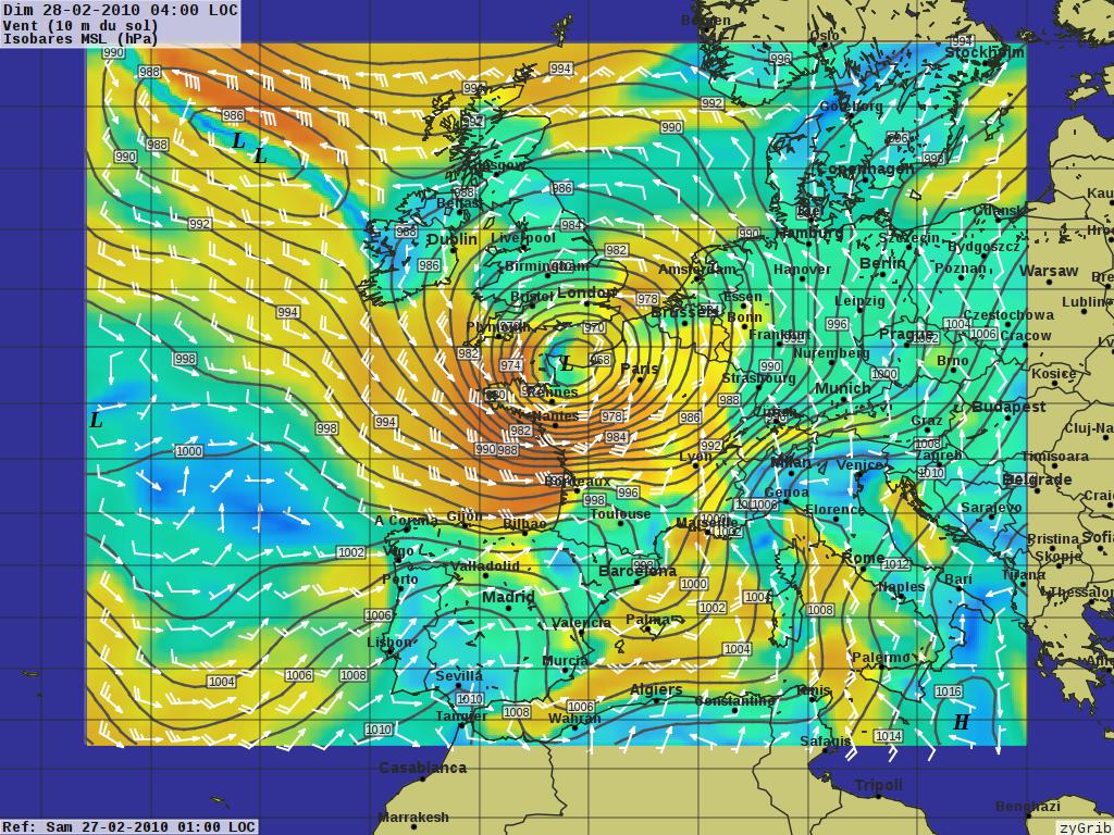
screenshot
  • Visualization of meteorologic data from files in GRIB format
  • Automatic download of forecast model output directly from NOAA
  • Automatic download from IAC (fleetcode) data
  • Play animations of 5-day forecasts
  • Create your own regional weather maps (worldwide), or view a detailed quantitative forecast for a particular location.
  • Plot wind, pressure, temperature, humidity, rain, snow, cloud cover, dew point, and high altitude data.

Details

Website: http://www.zygrib.org

Licence: GNU General Public License (GPL) version 3

Software Version: 3.9.2

Supported Platforms: GNU/Linux, Mac OSX, MS Windows

Support: http://zygrib.org/forum/